Top Palo Alto Neighborhoods for Tech-Focused Buyers
February 5, 2026
February 5, 2026
Starting a new role on the Peninsula can be exciting and overwhelming. You want a neighborhood that fits your commute, supports your day-to-day routine, and makes sense for your budget and timeline. In this guide, you will learn how Palo Alto neighborhoods compare on commute options, school boundaries, housing stock, and walkability so you can shortlist with confidence. Let’s dive in.
Your best neighborhood depends on a few practical tradeoffs.
U.S. Census estimates show mean travel time to work for Palo Alto residents in the mid 20 minutes, but your destination and mode will drive actual times.
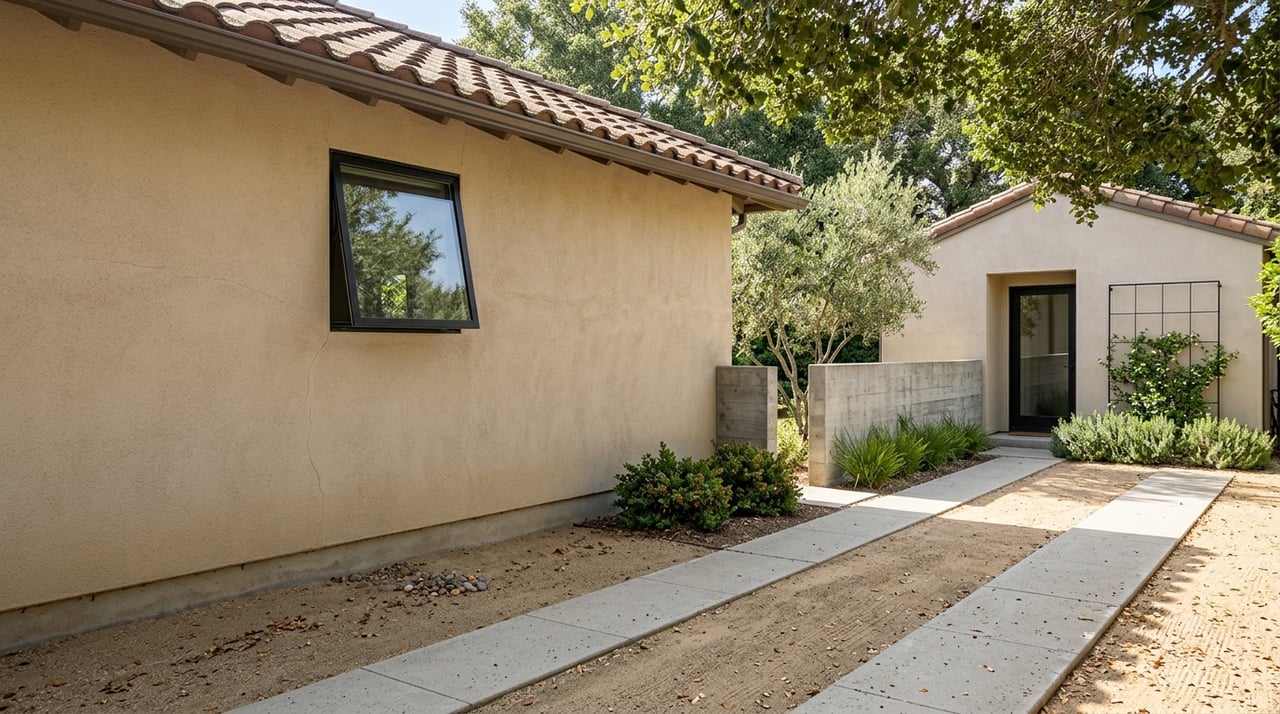
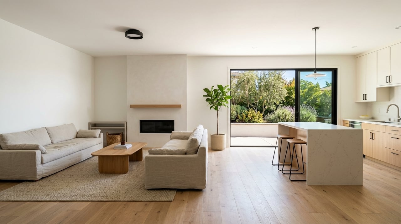
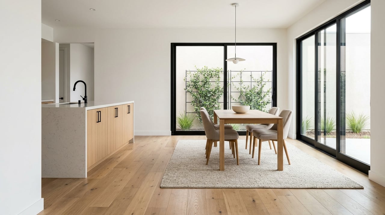
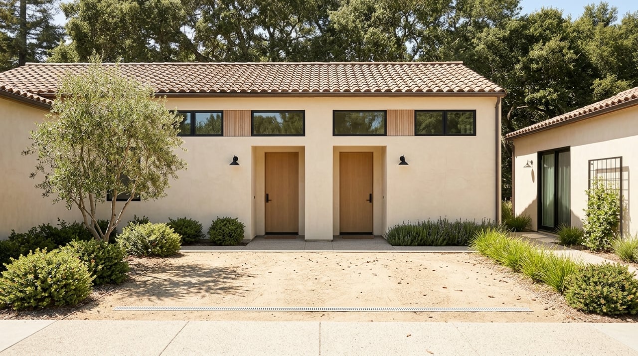
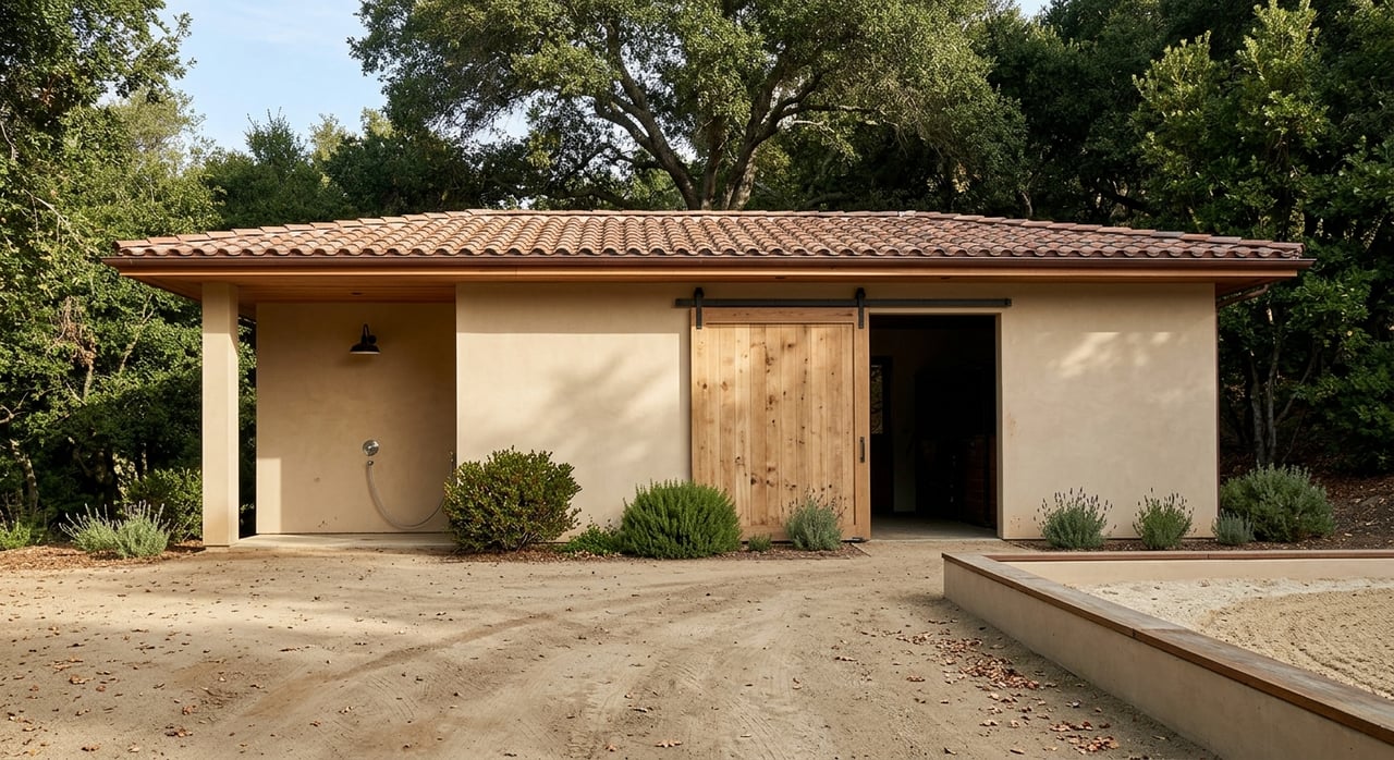
You get a mix of older single-family homes, modern remodels, and condos or lofts. Lots tend to be smaller, and price per square foot is among the highest in the city. Parking on some blocks can be limited, so confirm on-site or permitted options.
Walkability is the strongest here, with direct access to the Palo Alto Caltrain station, shops, restaurants, and employer shuttles. Commutes to Stanford, Menlo Park, and Mountain View are short by bike, car, or train.
For schools, individual blocks can map to different PAUSD elementary schools, so check boundaries for any specific property. Best for buyers who value car-light living and frequent dining or travel by train.
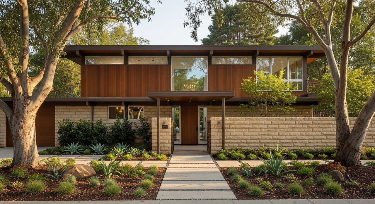
These areas feature historic Craftsman and early 20th-century homes on tree-lined streets. Many properties have larger lots and architectural character. Inventory is limited, and list prices reflect the scarcity.
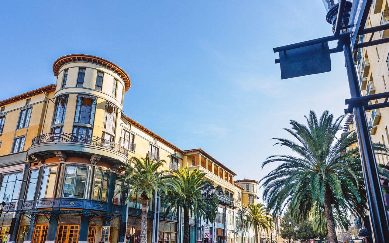
You can walk or bike to University Avenue and reach the downtown Caltrain station quickly. Stanford and nearby Peninsula job centers are close by for bikes and short drives.
Neighborhoods here are popular with buyers who want character homes and proximity to downtown amenities. Check PAUSD assignment maps to understand elementary, middle, and high school pathways for each address.
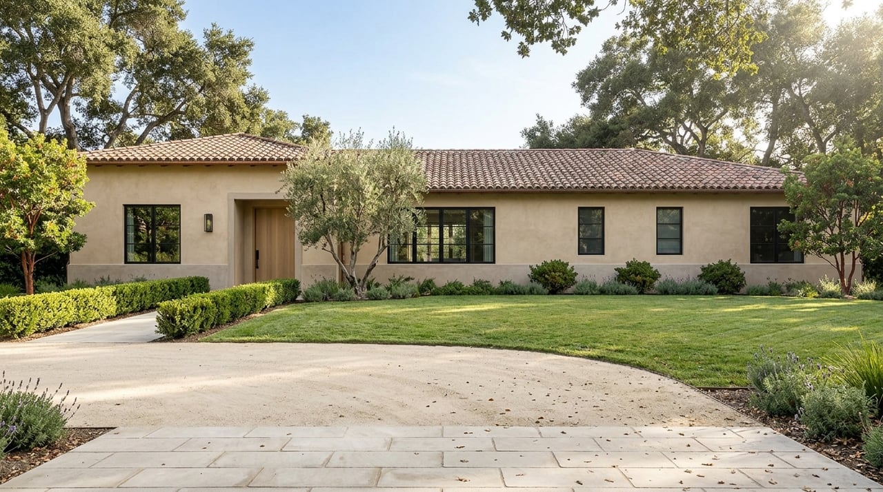
Around California Avenue you will find single-family bungalows, mid-century homes, townhomes, and pockets of newer infill. Price points can be slightly lower than downtown for comparable home size, depending on the block and condition.
Walkability is strong to the California Avenue Caltrain station, neighborhood restaurants, and services. Bike routes make Mountain View and Stanford practical for daily commuting.
Some blocks near El Camino Real can have more traffic activity. Verify specific PAUSD boundaries if school placement is important to you.
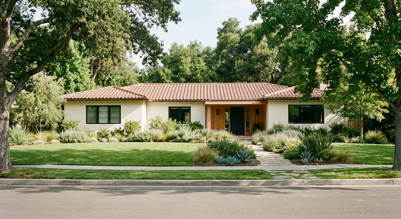
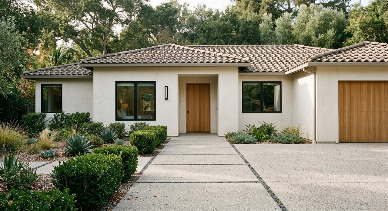
Expect mid-century ranch homes, many remodeled, plus select condos and apartments near main corridors. Lots are often modest in size with more inventory than Old Palo Alto.
Walkability is moderate, with pockets of shops, groceries, and cafes. Central location helps with balanced drives up and down the Peninsula, and bike routes connect to Stanford and Mountain View.
These areas can offer better relative value on a per square foot basis compared to older, historic districts. Schools vary by block, so confirm assignments during your search.
Homes here lean toward larger lots and more privacy, with a mix of contemporary and custom architecture. Walkability is low and daily errands are more car dependent.
Access to Interstate 280 is a benefit if your commute heads toward Cupertino or parts of San Jose. Caltrain access is farther, so this area suits drive-first commuters.
If you prefer space and quiet and can trade convenience for privacy, these blocks can be a strong fit. Confirm distances to schools and services to match your routine.
Neighborhoods near Menlo Park and Stanford Research Park can shorten commutes to Meta and Stanford offices. Some buyers choose nearby cities such as Menlo Park, Mountain View, Redwood City, Los Altos, or East Palo Alto for different price or space tradeoffs while keeping access to Palo Alto amenities.
If you are balancing budget and location, consider touring these adjacent markets alongside Palo Alto. This can help you decide whether space, commute, or walkability matters most.
US-101 is the primary north-south artery for San Mateo County and San Francisco. I-280 can be faster or more consistent at times for southbound and northbound travel, depending on congestion. El Camino Real is the local north-south corridor connecting city centers.
Traffic varies by time of day, so test routes during actual commute windows. Parking in downtown zones can be metered or permitted, so review block-specific rules.
Palo Alto has two key stations. The downtown station on University Avenue is a major stop, and the California Avenue station serves the south-central district. Caltrain runs local and express service, with typical travel to downtown San Francisco ranging from roughly 35 minutes on express to over an hour on local service depending on the schedule.
If you expect frequent trips to San Francisco, living near either station can reduce time and stress. Caltrain also supports reverse commutes to the South Bay.
Many large tech employers operate private commuter shuttles with stops in and around Palo Alto. A nearby stop can transform your commute reliability, especially when paired with walking or biking to the pickup point.
Ask your employer for current shuttle maps and stop locations before you choose a neighborhood. Small location adjustments can open more options.
Palo Alto has a strong bike culture and a growing network of protected lanes. For Stanford, Menlo Park, and Mountain View, a 10 to 30 minute bike commute can be realistic.
If you plan to bike often, test routes from likely homes and confirm secure bike storage at the property. This can be as important as parking access.
Palo Alto Unified School District serves most of the city with multiple elementary schools, middle schools, and two comprehensive high schools. Assignments vary by block, and boundaries and policies can update, so confirm details with the district during your search.
Families also consider private and independent school options in and near the city. Admissions cycles and waitlists can be competitive, so start early if that is your plan.
Childcare and preschool slots are in high demand. Many parents explore both center-based care and in-home providers and secure placements as soon as timing allows.
Parks, libraries, and community programs are widely used across neighborhoods. Proximity to green space is a common selection factor for families.
For many relocators, renting for 6 to 12 months provides a low-risk way to test commute patterns and school placements. Expect a competitive rental market and premium rents relative to county averages. Corporate housing can bridge the first months, although it carries a higher cost.
Buying in Palo Alto usually involves careful preparation. Inventory is tight, and multiple offers are common in seller-favorable conditions. Preapproval, proof of funds, and a clear offer strategy help you compete.
Property taxes follow state law that limits assessed value growth after purchase, and a new purchase generally triggers reassessment. High-value loans can require larger down payments and lenders with experience in the local market.
If your budget is constrained, consider adjacent cities for price or space tradeoffs while maintaining a short commute. Run the numbers side by side so you understand the value of time saved versus housing gained.
You deserve a guided process that respects your time and goals. With a data-forward approach and neighborhood depth across Palo Alto, you can compare commute, schools, and housing fit before you step on a plane. When you are ready, align with a local advisor who combines analytics with on-the-ground context and access to both listed and private opportunities.
If you want a focused short list and a competitive plan to win the right home, connect with Wendy Kandasamy for a complimentary, data-driven consultation.
Stay up to date on the latest real estate trends.
Leveraging her expertise in both the economics of home ownership and sharp analysis of the real estate market. This unique combination proves invaluable when crafting tailored solutions for her clients' diverse real estate needs
Get In Touch With Wendy To Learn More
Address: 578 University Ave Palo Alto CA 94301