Living in San Mateo: A Guide to Neighborhoods and Commute
June 25, 2026
June 25, 2026
Wondering what it’s really like to live in San Mateo? If you are comparing Peninsula cities, San Mateo stands out for its mix of distinct neighborhoods, easy access to parks and shoreline recreation, and a commute setup that can flex between rail, shuttle, bus, and driving. Whether you are relocating, buying your first Peninsula home, or simply narrowing your options, this guide will help you understand how San Mateo feels day to day. Let’s dive in.
San Mateo does not read like one single, uniform city. Its official neighborhood materials show a patchwork of subareas, including Bay Meadows, Baywood, Beresford/Hillsdale, Central, North Central, North Shoreview, San Mateo Park, and Shoreview/Parkside. That matters when you are home shopping because your daily experience can shift quite a bit from one part of the city to another.
Some areas feel more walkable and urban, while others feel more established and residential. You will also notice a difference between inland neighborhoods, transit-oriented areas, and the bayfront edge. In practical terms, San Mateo gives you options depending on how you want to live.
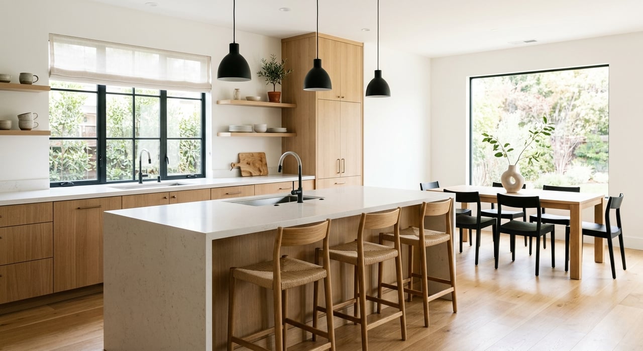
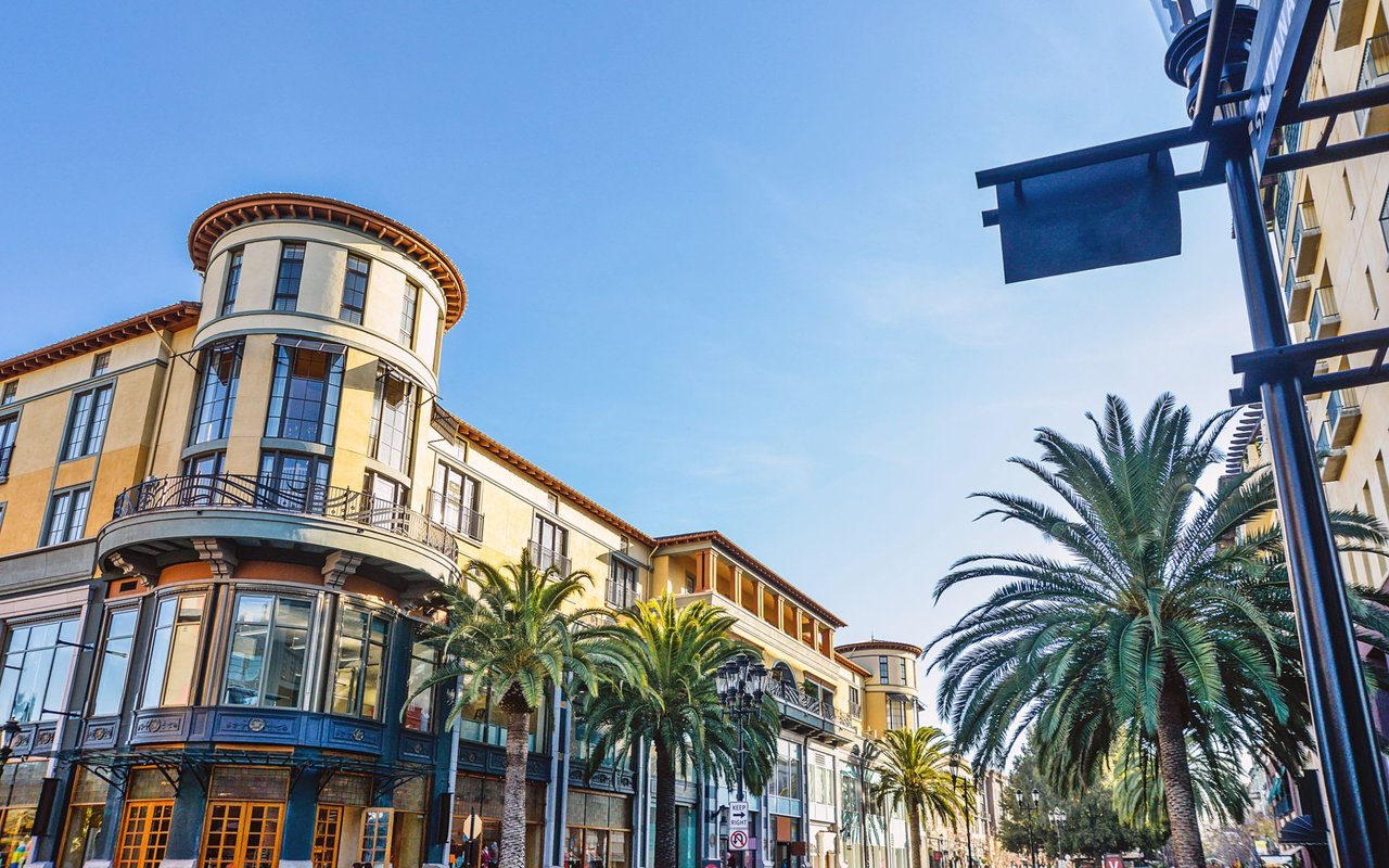
If you want the clearest walk-to-everything lifestyle, Downtown and Central are strong places to start. The downtown core covers about five square blocks and includes more than 100 dining, shopping, and art destinations. Parts of B Street are pedestrian-only, which adds to the compact, active feel.
This area also has a historic street grid and older buildings dating from the 1890s through the 1930s. That gives downtown a denser, more established character than some of San Mateo’s newer districts. For many buyers, this is the part of the city that feels most connected and most urban.
The downtown station area is on Transit Center Way between 1st and North B. The district also includes nearly 3,000 public parking spaces, which helps support the mix of shops, restaurants, and transit access. If you value being near Caltrain and everyday conveniences, this area deserves a closer look.
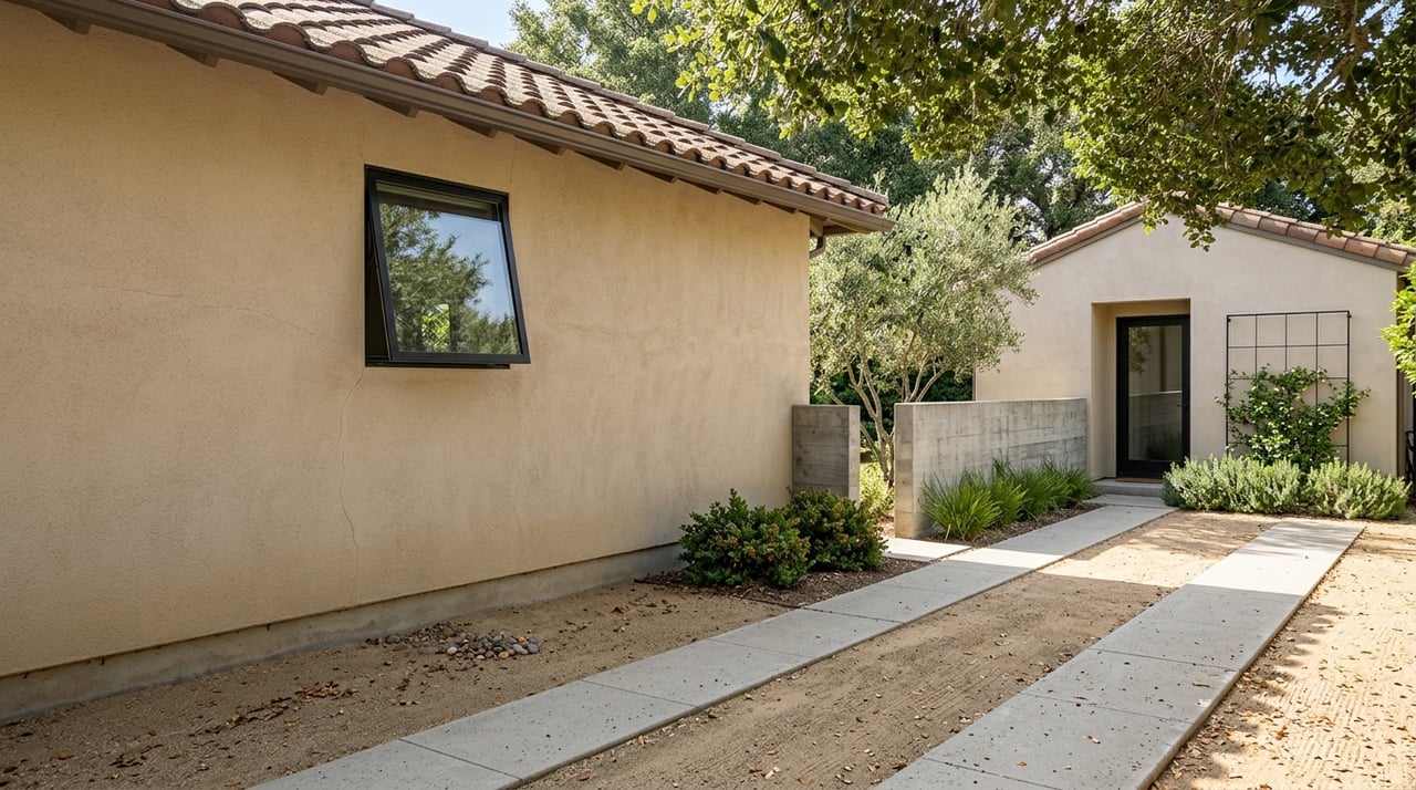
Bay Meadows is San Mateo’s clearest example of a newer, transit-oriented neighborhood. The city defines transit-oriented development as a mix of land uses centered around a transit station, and Bay Meadows fits that idea well. For buyers who want a more modern neighborhood layout with transportation in mind, this area often stands out.
Bay Meadows Community Park adds to the appeal. The park includes a full-size soccer field, picnic facilities, a passive lawn, a pond, and a looping walking path. That combination supports an easy, outdoors-focused routine close to home.
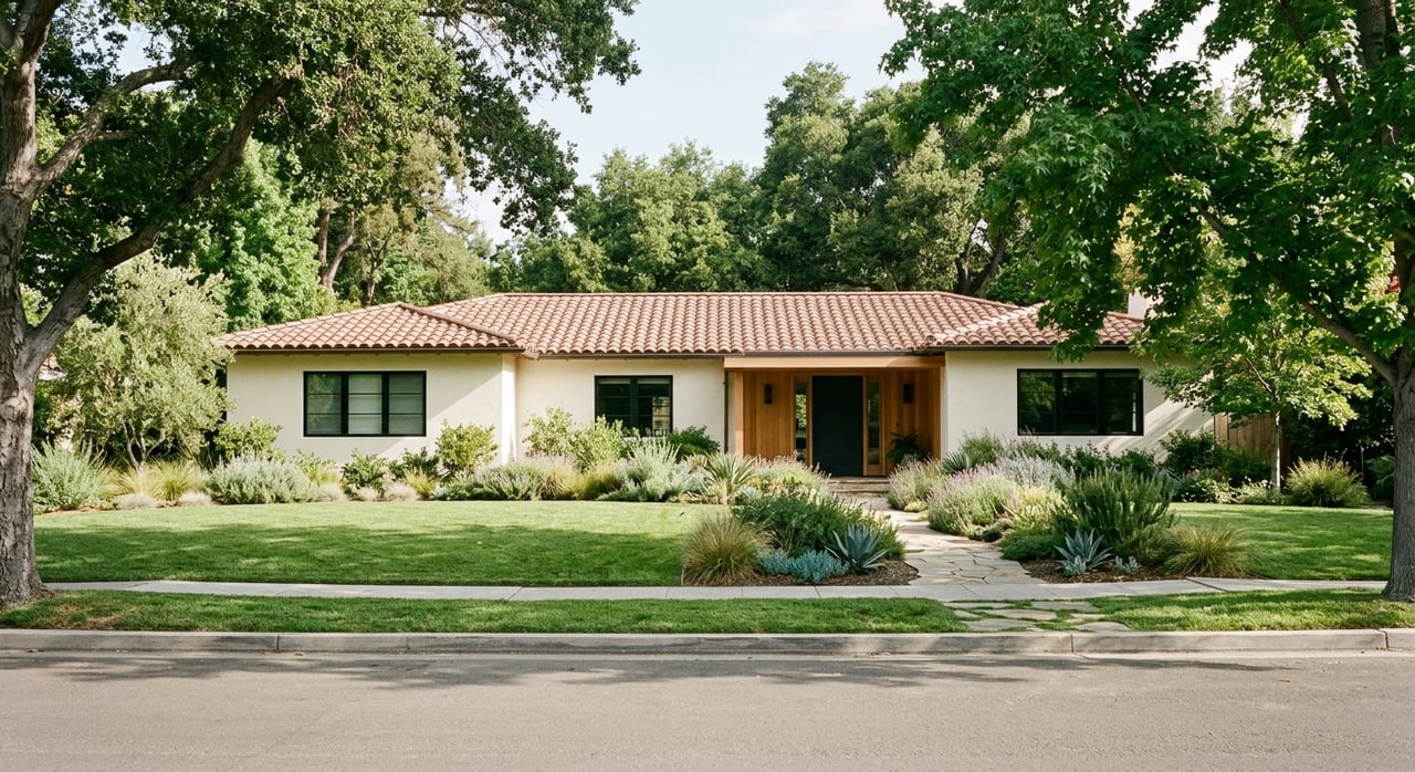
Baywood is one of San Mateo’s long-established residential districts. The city places it roughly between Route 92, De Anza Boulevard, Polhemus Road, the Hillsborough city limits, College of San Mateo, and West Hillsdale Boulevard. Those defined boundaries help frame it as a more traditional neighborhood setting within the city.
For buyers who prefer a less urban feel than downtown, Baywood is often part of the conversation. It is best understood as one of San Mateo’s established residential areas rather than a mixed-use core.
Beresford/Hillsdale is another established district identified in the city’s neighborhood materials. It runs between El Camino Real and Alameda de las Pulgas from 28th Avenue to the Belmont border. That location makes it useful to consider if you want a residential setting with access to major local corridors.
Because it is a broad, well-known residential section of the city, this area can appeal to buyers who want a balance between neighborhood feel and practical access to services and transportation.
San Mateo Park is also listed by the city as a distinct neighborhood district. Its boundaries run between Hillsborough, Barroilhet Avenue, El Camino Real, and Engle Road. Like Baywood and Beresford/Hillsdale, it is best viewed as part of San Mateo’s long-established residential fabric.
If you are comparing neighborhood styles, San Mateo Park represents a different experience from downtown or Bay Meadows. It is part of the reason San Mateo can feel so varied from one area to the next.
On the bayfront side of the city, North Shoreview and Shoreview/Parkside offer a different geographic feel. The city places North Shoreview east of US 101 and extending toward the Bay. Shoreview/Parkside runs from Highway 92 north to 3rd Avenue and from Highway 101 east to the Bay.
For many buyers, this part of San Mateo stands out for its relationship to shoreline access and freeway connectivity. If being closer to the bayfront parks and trails matters to you, these neighborhoods may be worth exploring.
One of San Mateo’s biggest lifestyle advantages is the range of outdoor options. The city says it has about 200 acres of open space, more than 13 neighborhood parks, 9 larger community parks, 6 recreation and community centers, 2 pools, a shoreline regional park system, and an estuary lagoon for boating. The shoreline parks are also part of the Bay Trail.
That means outdoor time in San Mateo can look very different depending on where you live. You might be heading to an in-town park, a neighborhood recreation center, or a shoreline trail with bay views.
Central Park is San Mateo’s signature in-town green space. The city lists baseball, tennis, picnic areas, a play area, restrooms, and recreation buildings. It also includes the Japanese Garden and the mini train, which have long been part of the park’s identity.
Because it sits close to downtown, Central Park is a strong example of everyday local life in San Mateo. It is not just a green space. It is also a gathering place that supports recurring community events.
If shoreline recreation is high on your list, Seal Point Park is one of the city’s strongest outdoor destinations. The city describes it as part of the shoreline park system, with walking and cycling paths, bird-watching areas, a 3-acre dog park, and a bay-marsh boardwalk.
This is the kind of place that can shape your weekly routine. Whether you want a long walk, a bike ride, or a quick outdoor break with open views, Seal Point Park adds a lot to San Mateo’s appeal.
Coyote Point Recreation Area brings a larger regional-park feel. San Mateo County says it offers picnic areas, a sandy beach, waterside paths with views of the Bay and the San Mateo Bridge, and views of jets taking off and landing at SFO. It is also home to Magic Mountain Playground.
For buyers who care about access to bigger outdoor destinations, Coyote Point is a meaningful advantage. It expands San Mateo’s recreation options beyond neighborhood parks and into a more destination-style setting.
Shoreview Park & Recreation Center is another useful neighborhood-level anchor. The site includes a playground, tennis courts, a basketball court, a baseball field, and a skateboard plaza. That mix supports a wide range of day-to-day recreation close to home.
For residents in the eastern part of the city, spaces like this can be a major lifestyle benefit. They create easy access to outdoor activity without needing to leave the neighborhood.
Commute is a major factor for many Peninsula buyers, and San Mateo offers a multimodal setup. Caltrain is the backbone for north-south travel on the Peninsula. San Mateo, Hayward Park, and Hillsdale stations are all in Zone 2.
The downtown San Mateo station sits on Transit Center Way between 1st and North B. That central location makes rail access especially convenient for people living near Downtown and Central.
If you want a commute that does not depend entirely on driving, Caltrain is one of San Mateo’s biggest strengths. It connects the city to the broader Peninsula corridor and San Francisco. For many residents, being near one of the local stations can make daily travel more manageable.
Downtown and Bay Meadows are often the clearest examples of areas where a car-light routine can be more realistic. That is based on the downtown pedestrian core, station access, and Bay Meadows’ transit-oriented planning.
San Mateo’s transportation network goes beyond rail. The city says Connect San Mateo runs free shuttles from Hillsdale and Hayward Park train stations to major workplaces. That can be especially useful if your final destination is not right next to the train.
SamTrans routes serving the area include CSM, ECR, and 292. There is also a nearby BART connection at Millbrae, where riders can transfer to Caltrain. For some commuters, that added flexibility is a real advantage.
If you drive regularly, San Mateo also has strong regional road connections. The city highlights US 101 and State Route 92 interchange improvements, along with key east-west links such as Hillsdale, 19th/Fashion Island, and 3rd Avenue. Those corridors shape how many residents move through the city and out to surrounding job centers.
In practical terms, commuting from San Mateo is rarely one-size-fits-all. Some residents rely heavily on Caltrain, some mix train and shuttle service, and others drive most days while still benefiting from the city’s central Peninsula location.
If your priority is walkability, Downtown/Central and Bay Meadows are among the strongest places to explore. Downtown gives you the most concentrated mix of dining, shopping, rail access, and pedestrian activity. Bay Meadows offers a newer transit-oriented setup with park access built into the neighborhood experience.
If your priority is a more established residential setting, Baywood, Beresford/Hillsdale, San Mateo Park, and Shoreview/Parkside are important areas to compare. These neighborhoods reflect San Mateo’s broader residential identity and help explain why the city appeals to a wide range of buyers.
If outdoor access matters most, the shoreline side of the city deserves attention. Seal Point Park, Shoreview Park, the Bay Trail-connected shoreline parks, and nearby Coyote Point all contribute to a strong recreation picture.
San Mateo works well for buyers who want variety in one city. You can find a more urban, station-oriented environment, an established residential district, or a bayfront-adjacent setting with strong park access. That range is a big part of what makes the city so appealing.
It also offers a practical balance that many Peninsula buyers are looking for. You get local parks, shoreline recreation, multiple transit options, and major roadway connections, all within a city that feels distinctly made up of smaller pockets rather than one single mold.
If you are weighing where to focus your home search on the mid-Peninsula, San Mateo is worth a careful, neighborhood-by-neighborhood look. If you want help comparing specific areas, commute patterns, or property types in San Mateo, connect with Wendy Kandasamy to schedule a complimentary market consultation and home valuation.
Stay up to date on the latest real estate trends.
Leveraging her expertise in both the economics of home ownership and sharp analysis of the real estate market. This unique combination proves invaluable when crafting tailored solutions for her clients' diverse real estate needs
Get In Touch With Wendy To Learn More
Address: 578 University Ave Palo Alto CA 94301